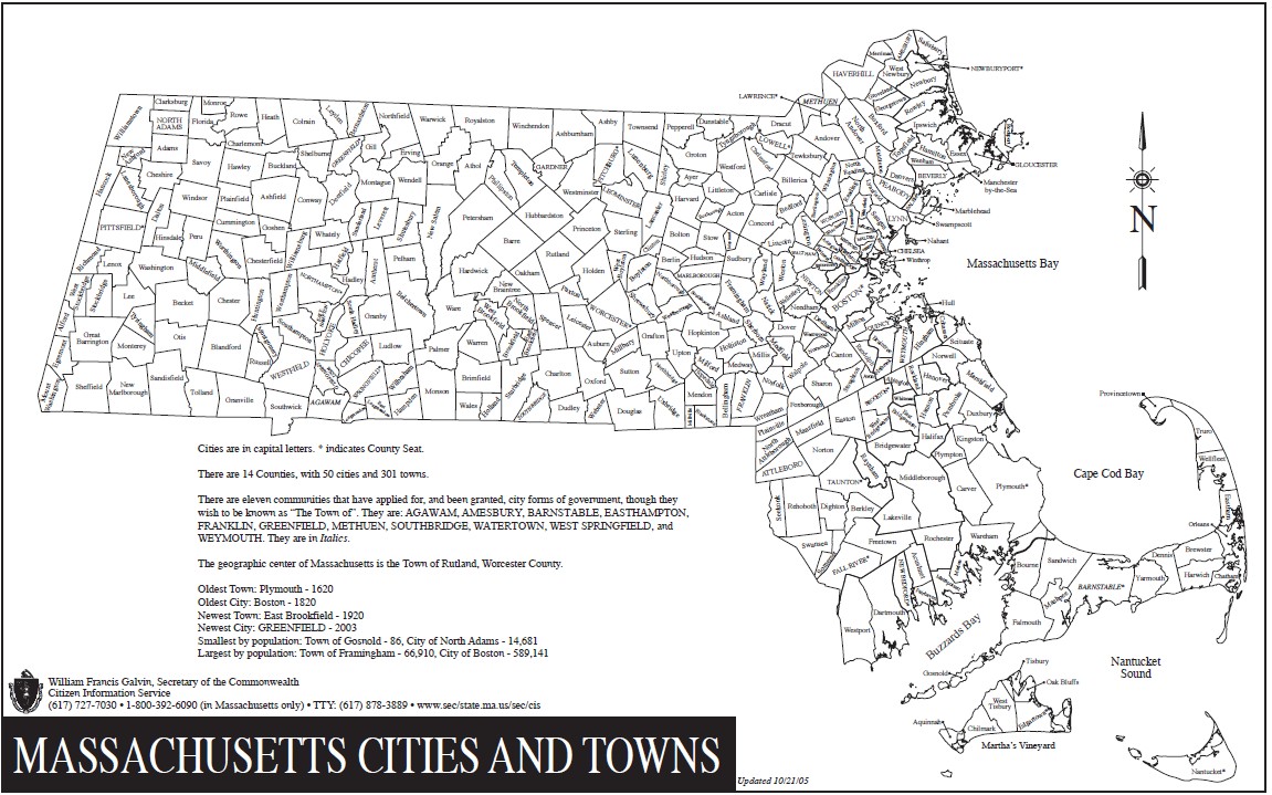
We learned the hard way how to put together a trip that worked. Our "go to" tools for planning:
MapMyRide. Free, easy-to-use mapping software. Point / click your route, it will tell you mileage and elevation changes. You can view streets, topography, satellite images -- everything you need. If you have an iPhone, their app integrates with GPS to allow to map new routes on the fly or check if you are on course. We've embedded links to some of our favorite rides stored here.
MBTA. We used the MBTA commuter rail system to travel through Eastern and Central Mass. Aside from rush hours, bikes (including our trusty tandem) are allowed for no extra charge. It's a great way to explore new areas, and by setting up 'one way' rides, you get to see twice as much country for the same mileage.
Rail Trails. Railroads were designed to minimize elevation change -- following old rail lines is a great way to 'stay flat', plus you avoid cars. Traillink.com is the best master resource to rail trails, and is very helpful aside from annoying popups.
Wahoo KICKR. Mike and Elmo's new training toy -- perfect way to stay in shape during the off-season, and practice challenging climbs from around the world in the quiet of your own home. Highly recommended for anyone who wants to improve their riding, especially their climbing.
Pinch Flat. A bike community, full of equipment resources.